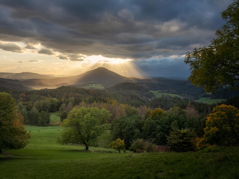
At 619 metres, the Rosenberg (Růžovský vrch) is the highest point in the Bohemian Switzerland National Park.
From the village of Růžová, the yellow-marked hiking trail leads to the summit of the Rosenberg. The difference in altitude to be overcome is around 270 metres. The trail first leads through the fields to the east of the village. From there, you have your first view of the monumental mountain with its slopes over 250 metres high. This view is particularly beautiful in the afternoon when you have the sun behind you. The actual ascent only begins after almost three kilometres of walking, as only then do you reach the foot of the mountain. The terrain now rises steeply, which is due to the lava body of hard basalt that once penetrated the sandstone layers and solidified in them as an underground volcanic rock. Even before the first hairpin bends, you are greeted by a sign telling you that Rosenberg is one of the most important nature reserves in the entire Ústí region. It covers an area of 118 hectares and practically the entire mountain.
As most of the Rosenberg (Růžovský vrch) is protected as the first zone of the Bohemian Switzerland National Park and as a national nature reserve, hiking outside the marked trails is not permitted.
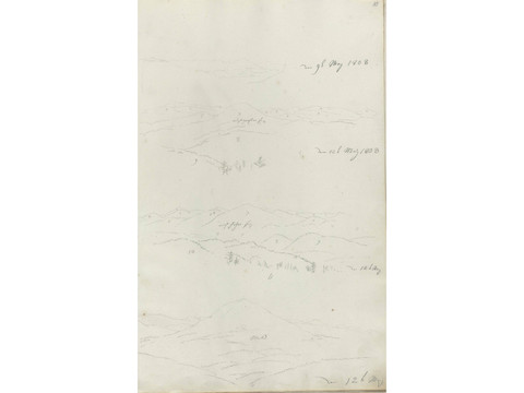
Caspar David Friedrich was also fascinated by the striking elevations of Bohemian Switzerland. He had often seen the landmarks from afar. In May 1808, he set off to finally draw some of them up close. During the hike, which lasted several days, he produced an interesting sketch showing Rosenberg and Kaltenberg from various distances. Immediately after his return, he processed his impressions in the painting "Bohemian Landscape". Both elevations also make prominent appearances in later works.

