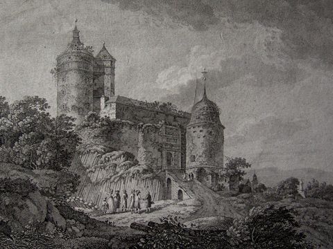
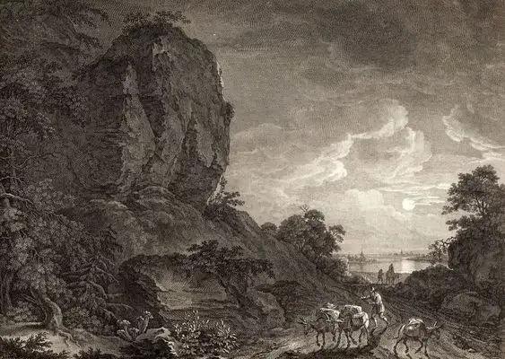
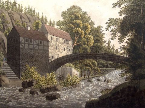
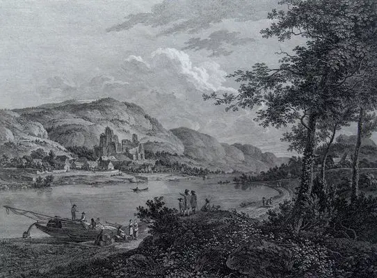
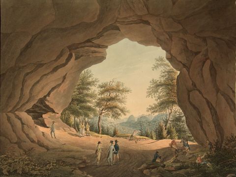
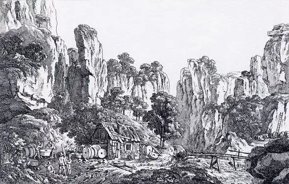
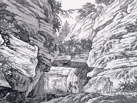
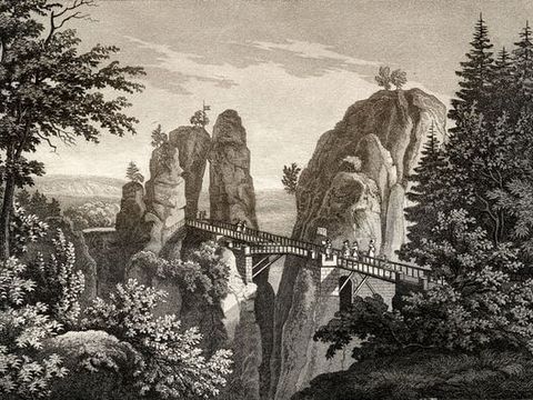
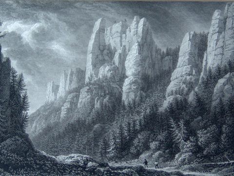
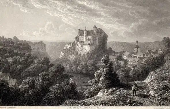
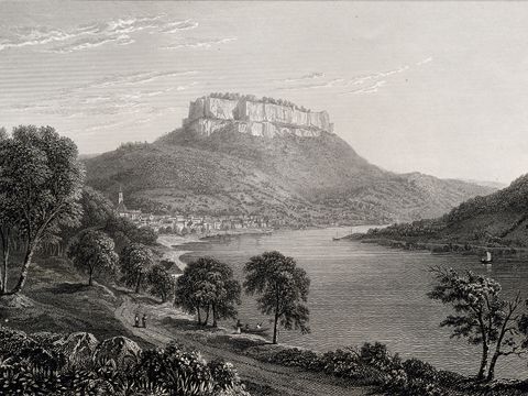
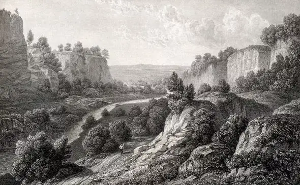
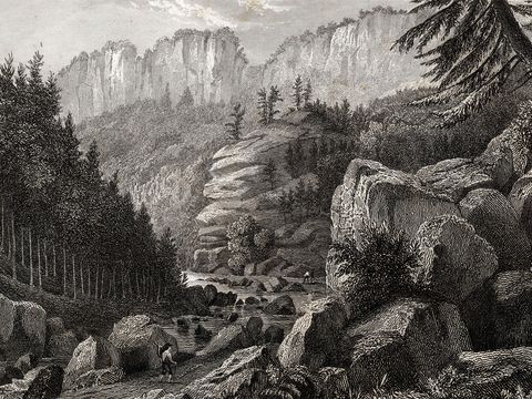
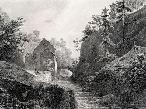
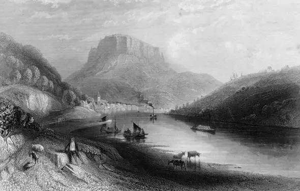
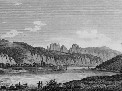
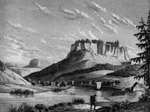
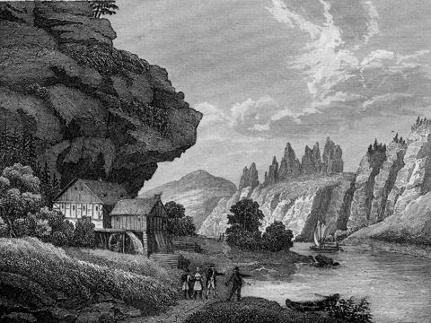
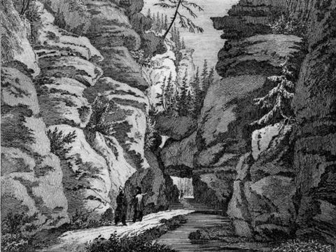
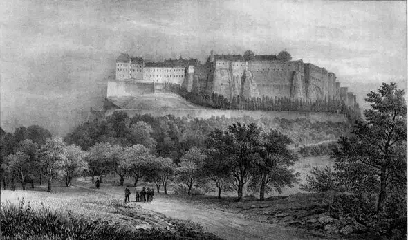
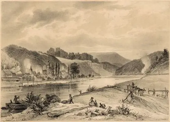
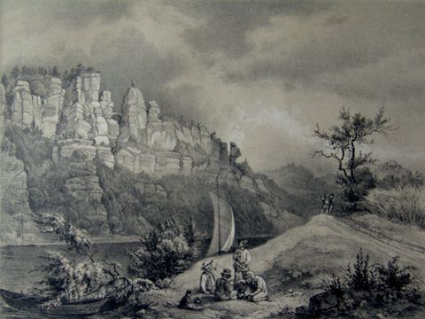
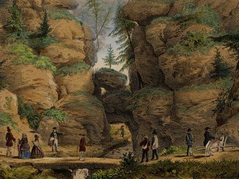
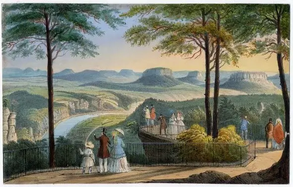
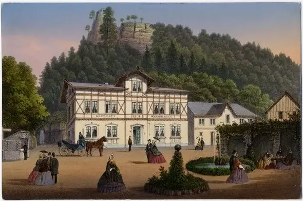
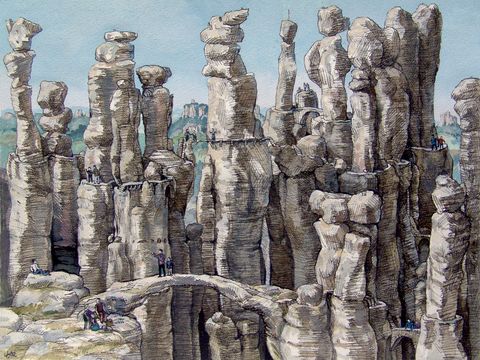
Soon, certain favourite paths gradually took shape. They merged to form an ideal route through the area, but they sank into oblivion after the railway was built in the 19th century. 100 years later, a first attempt was made to revive the historic route. It was named the Painters Road, later “Historic Painters trail”.
The tourist association linked into it, optimized the routing and extended it with a section on the left side of the Elbe River. Finally, in 2006, a 112 km long staged hiking trail was opened, and enchants present-day visitors with its manifold moving landscape impressions in the same way as the romantic artists at their time: The Malerweg trail in the Elbe Sandstone Mountains.
It starts in Pirna-Liebethal, runs through Saxon Switzerland National Park on the right bank of the River Elbe up to the Czech border and returns on the other side of the river over six table mountains back to the town of Pirna.
This probably most traditional hiking trail of all Germany is nowadays completely marked. Signposts labeled “Malerweg” or with just a curved letter M indicate the directions. A red dot added to the M letter indicates that you are hiking on the historic route.
Originally, 112 km was indicated as the total distance of the Malerweg Trail. Today we talk about 116 kilometers. The reason for this deviation is due to different analogue and digital measuring techniques and their error sources. In the end, the distances are only given as a guide. More helpful are the average walk time references indicated on signposts.
