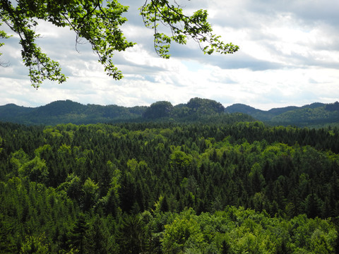
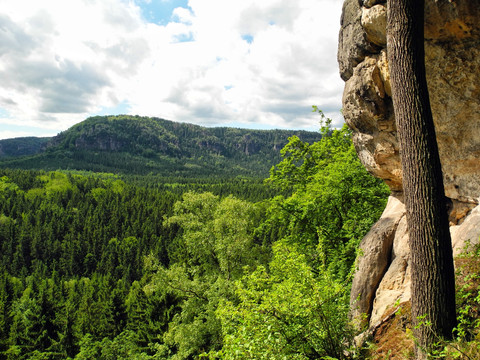
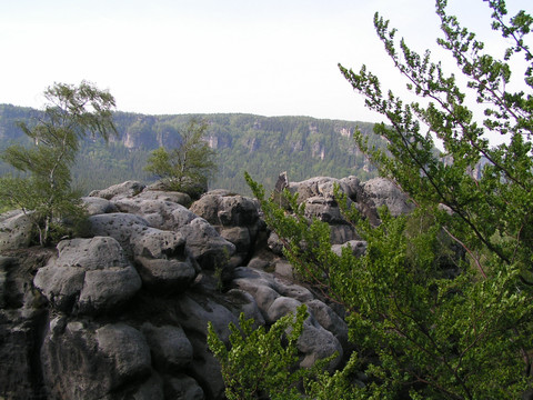
Waterfalls, high cliffs, fairytale hiking trails. The ascent to the Neuer Wildenstein is short and crisp. There is so much to discover at the top in such a small space that you almost forget to enjoy the impressive view. After exploring the Kuhstall and Schneiderloch, the trail gently descends into the ground and along the Räumigtweg to the Beuthenfall with its ruins from a bygone era.
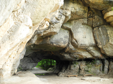
To the rock gate of the Neuer Wildenstein: the "cowshed"
Short facts
- start: Lichtenhain waterfall (Kirnitzsch valley)
- destination: Beuthen Falls (Kirnitzsch Valley)
- medium
- 4,07 km
- 1 hour 25 minutes
- 174 m
- 329 m
- 160 m
Weather
General information
- Cultural Interesting
- Stop at an Inn
Lichtenhain waterfall (Kirnitzsch valley)
Beuthen Falls (Kirnitzsch Valley)
The hike to the famous Kuhstall rock gate begins at the Lichtenhain waterfall in the Kirnitzsch valley. We cross the Kirnitzsch on the bridge and take the hiking trail with the red dot and M markings and follow the signs to the huge rock cavity.
The Kuhstall is the largest layered joint cave in Saxon Switzerland, formed by weathering and erosion in connection with dam water. In the Middle Ages, the enormous cave was a "cowshed" for the farmers' cattle and a safe, protected hiding place for people and animals in the deep forests. At that time, wars with marauding, plundering armies ravaged the land and raids were the order of the day.
After passing through the cowshed, a narrow crevice with steps - the so-called Himmelsleiter - leads steeply up to the plateau on the left with a wonderful view of the Kleiner Zschand and the Affensteine. The Neu-Wildenstein castle complex was located here in the 15th century. After the easy descent from the plateau, we take the steps down (marked with a red dot and M). At the bottom we meet the Hinterer Kuhstallweg (red line), which we follow for 500 metres before turning left onto the Räumichtweg, which leads into the Dittrichtsgrund. We follow this down the valley towards Kirnitzschtal until we reach Beuthenfall.
The tour is suitable for children, but only to a limited extent for dogs (the sky ladder is very narrow and steep).
Paid car park at the Lichtenhain waterfall and Beuthenfall
Outward journey: Take bus 241 (direction Hinterhermsdorf) to Lichtenhainer Wasserfall or first take bus 241 to Bad Schandau Elbkai and then change to Kirnitzschtalbahn to Lichtenhainer Wasserfall
Return journey: By bus 241 (direction Pirna) from Beuthenfall Kirnitzschtal or from Beuthenfall Kirnitzschtal with the Kirnitzschtalbahn to Bad Schandau and then change to bus 241


