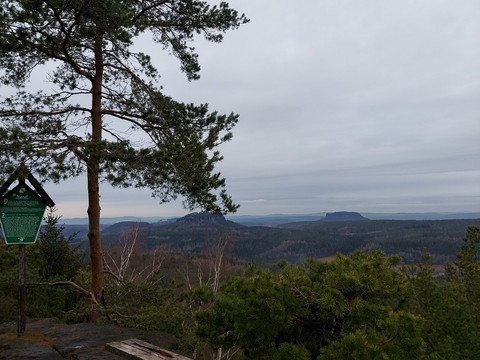
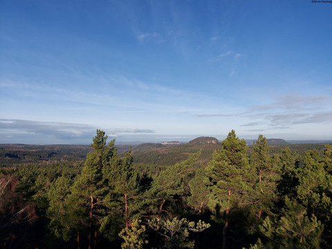
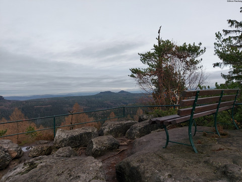
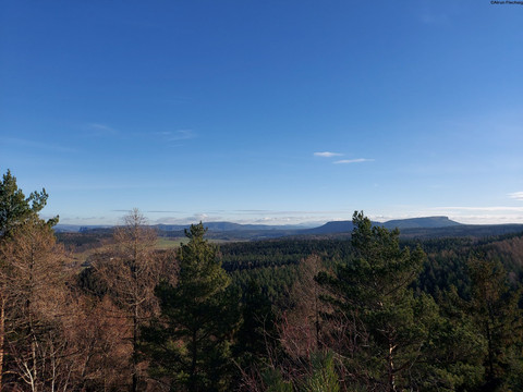
If you are looking for peace and solitude, you will find it on this hike!This tour leads to three of the smallest table mountains. From the rocky lookout points, you have a wonderful view over the extensive forests to the table mountains of Saxon Switzerland.
Through lonely forests to rocky vantage points
Short facts
- start: Bus stop Cunnersdorf Schmiede
- destination: Bus stop Cunnersdorf Schmiede
- medium
- 14,18 km
- 4 hours 20 minutes
- 490 m
- 463 m
- 244 m
Weather
General information
- Summit
- Loop Road
- Tour with Dog
Bus stop Cunnersdorf Schmiede
Bus stop Cunnersdorf Schmiede
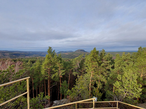
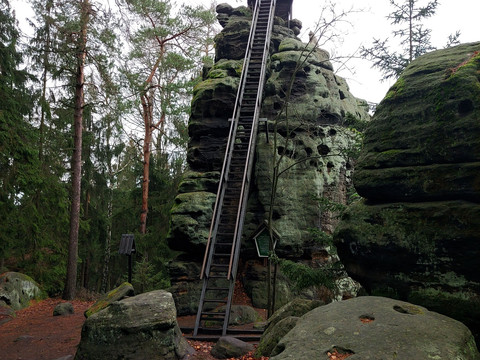
From Cunnersdorfer Straße, we turn slightly to the right and follow the "yellow line" markings. After leaving the houses of Cunnersdorf behind us, the road turns into a dirt track and later into a forest path. We climb steep steps for the last few metres up the Spitzen Stein to finally reach the 410m high rock via an iron ladder.
The Spitzen Stein was first accessed with simple wooden ladders in 1885, but the iron ladder and railings were only built around 100 years later. From here you have a marvellous panoramic view of the table mountains of Saxon Switzerland.
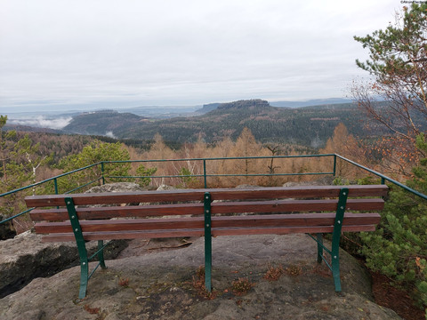
After this detour, we hike on (marked with a yellow line) to the Spitzstein bivouac and onto the root path. Now you have to be careful not to miss the turn-off onto a small path to the right after about 400 metres from the Spitzsteinbiwak! At the junction you will find a post with the forest path markings (yellow vertical line). After descending to the Neuteich pond, continue along the forest path ("yellow line") in the direction of Lampertstein. The promenade winds its way under the rock faces until we reach the steps on the Lampertstein and turn right to the view.
According to an older tradition, the Lampertstein is named after its former owner. From here you can see Königstein, Lilienstein, Pfaffenstein, Gohrisch, Papststein, Falkenstein, Schrammsteine and the Großer Winterberg.
On the way back, we choose the ridge path, take in the "Schneeberger Blick" view and leave the forest path after approx. 200 metres. A small path turns sharply to the left and we follow the "yellow line" markings towards Katzstein. Once back on the "Promenade", we take the same path back towards Neuteich. From here, we hike uphill along the Pechweg (tarmac forest path) until we cross the wide "Wurzelweg" forest path. There is a covered rest area there. Continue straight ahead on the "Pechloch" hiking trail. The higher we get, the smaller and steeper this path becomes. The signpost says "Connection (green dot) to Katzstein and Signal". Once we reach the Mäusebornweg ("green dot"), we turn left and hike on to the Katzstein (iron ladder to the view) and the Signal, following the signs on the Forststeig.
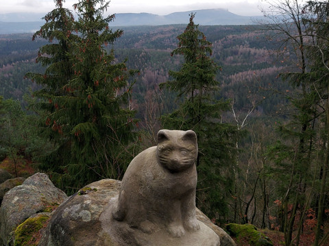
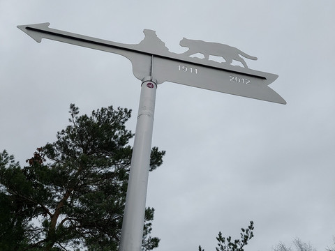
It is assumed that this was once the territory of numerous wild cats. The last specimen was shot in this area not far from the border in 1809. A steep ladder (only for those with a head for heights) leads up to the narrow rock (474 m) of the Katzstein. On a clear day you can see the distant Unger and Tanzplan, a little closer the Kohlbornstein, the Laasensteine, Schrammsteine, the Winterberg, the Zirkelstein and the Kaiserkrone and very close to the Kleiner and Großer Zschirnstein.
The Signal is the viewpoint on the north side of the Katzstein massif. It had an important function, as it was an observation post of the Royal Forestry Administration for possible forest fires.
After descending from the signal, we come across the "green dot" markings again at a seating area. We follow the Spitzsteinweg to the right until we reach the Winterleitenstraße junction. From here we walk along Winterleitenstraße (marked with a red line) back to the starting point in Cunnersdorf. If you still want to go to the Waldbad Cunnersdorf, follow the "green dot" markings straight ahead. From the forest pool to the starting point of the hike, you walk for approx. 15 minutes along the road to the village of Cunnersdorf.
Most of the villages in Saxon Switzerland were settled in the 12th century. Settlers from Lower Saxony, Thuringia and Franconia set off and also founded the village of Cunnersdorf. It can be assumed that the locator's name was Konrad. From this, the place name "Kunradsdorf" (1379) and "Connersdorffe" (1539) developed into Cunnersdorf.
Hiking boots and catering
Op warme zomerdagen is een bezoek aan het Waldbad Cunnersdorf zeker de moeite waard. Neem je zwemspullen mee!
De tocht is geschikt voor oudere kinderen die graag rennen en ook voor honden.
Very few car parks (approx. 8) opposite Cunnersdorf church (free of charge): To reach the starting point of the hike, walk to the junction with Cunnersdorfer Straße and turn left. After a few metres you will reach the signposts.
Hiking bus 244b from Königstein or 244a from Bad Schandau National Park railway station in the direction of Cunnersdorf to the Schmiede/ Cunnersdorf stop
