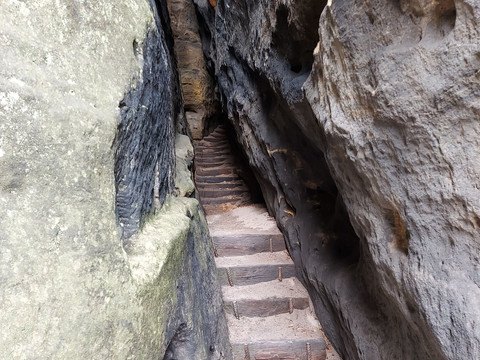
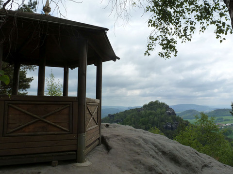
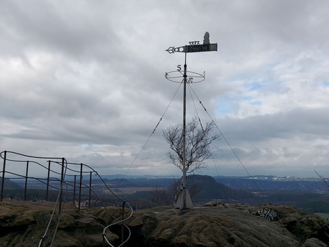
We reach the rocky plateau of Gohrisch through the narrow Falkenschlucht gorge, and at the top two wonderful views reward us for the effort of the ascent! The second part of the hike is a little more leisurely, with surprising things to discover near the ground.
The Falcon Gorge and other surprises around Gohrisch
Short facts
- start: Spa town Gohrisch/ car park Neue Hauptstraße
- destination: Spa town Gohrisch/ car park Neue Hauptstraße
- 9,09 km
- 2 hours 35 minutes
- 226 m
- 442 m
- 216 m
Weather
General information
- Summit
- Cultural Interesting
- Stop at an Inn
- Loop Road
Spa town Gohrisch/ car park Neue Hauptstraße
Spa town Gohrisch/ car park Neue Hauptstraße
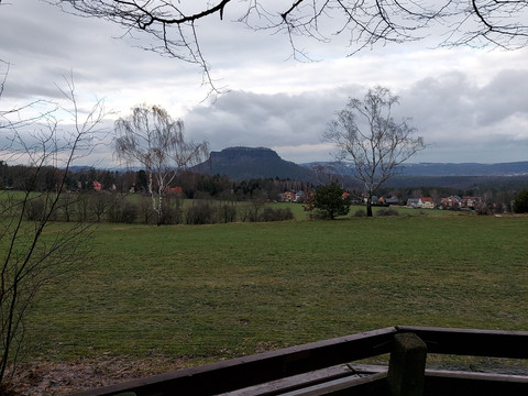
From the spa town of Gohrisch, we walk along the Stillen Grund (marked "yellow dot"; Oberer Rundweg) and past the greenhouses of the former market garden (now Forststeig bivouac site). We continue on the Upper Circular Trail (marked "yellow dot"), which turns off to the right, and come to the first small viewpoint "Uncle Paul's Bank". From here you have a wonderful view of the Lilienstein.
Shortly afterwards, we meet the Malerweg, which we follow, turning left. At the foot of Gohrisch we can choose between two different ascents. The ascent through the Falkenschlucht (Falcon Gorge) leads through a narrow rock gorge, where you need some climbing skills. The second option is to stay on the Malerweg. When we reach the top, we first want to go to the weather vane lookout. To do so, take a small path to the left on the rock plateau, pass between rocks and up a short passage secured with an iron chain.
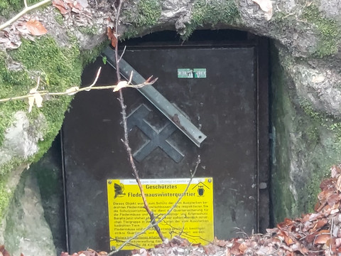
Return the same way and continue over the Gohrisch, we come to the Pavillonaussicht. After the east descent to the saddle between the Gohrisch and Papststein, we come across the soapstone gallery, which is connected to the basalt quarry. In the immediate border area of sandstone and basalt there is a layer of brown iron as well as a layer of decomposed basalt, which is called "soapstone". The age of the gallery is not exactly known. Older records refer to the mine as "Hülffe Gottes" at Gohrisch as early as 1583. The chronicler Wilhelm Leberecht Götzinger states that the soapstone gallery was created around 1750 in search of hard coal. It is still unclear today whether the gallery originally served to mine the soapstone or whether it was actually intended to tap coal deposits (created by driftwood in the sandstone). Since the 1990s, the gallery has served as winter quarters for bats.
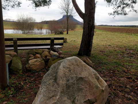
We cross the road at the Galgenschänke. Immediately after the car park, turn sharp left onto the Alte Jäke hiking trail. The trail descends steeply into the valley, crosses Schandauer Straße again at the beginning of the village of Gohrisch, passes the forest cemetery and continues straight ahead to the sports field. Turn left along the Lindenweg to the Hörnelweg. Now follow the "yellow dot" markings in the direction of the Hörnel pond (boulder from the Ice Age). Continue on the path around the Folgenfelder, past the caravan site, to the starting point of the hike in Gohrisch.
The name of the village "Gohrisch" is derived from the old Slavic word gora, which means "mountain". The first documented mention was in 1437 as Gorusch and one year later as Gorisch. It remained a very small village for centuries, as there were only limited opportunities to cultivate fields on the plains. 200 years ago, only about 100 people lived in 20 farmhouses. It was only with the development of tourism that the village flourished and was soon allowed to call itself a mountain health resort. In 1910, about 700 people already lived in Gohrisch. Since 1936 it has been allowed to bear the title "health resort".
When climbing the Gohrisch through the Falkenschlucht gorge, you need some climbing skills and should not be claustrophobic!
This tour is only recommended for children of school age or older.
This tour is only suitable for dogs if you omit the ascent of the Gohrisch. There is a circular route from the foot of the Gohrisch to the saddle/parking area. There you meet up again with the route coming from the summit.
Car park Neue Hauptstraße inn Gohrisch (fee required, about 20 spaces)
Hiking bus line 244 from Bad Schandau National Park railway station or from Königstein in the direction of Papstdorf/ Cunnersdorf to Gohrisch bus stop/ car park
