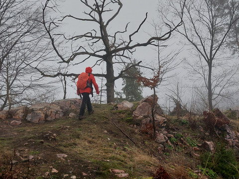
Away from the main tourist routes, you can experience the varied low mountain range landscape between Saxon Switzerland and the Eastern Ore Mountains around Bad Gottleuba. Not only marvellous nature, but also interesting cultural and historical sights can be discovered on this hike!
Augustusberg, ridge trail through the Tannenbusch and more around Bad Gottleuba
Short facts
- start: Market square in Bad Gottleuba
- destination: Market square in Bad Gottleuba
- medium
- 9,34 km
- 2 hours 55 minutes
- 254 m
- 511 m
- 337 m
Weather
General information
- Summit
- Cultural Interesting
- Loop Road
- Tour with Dog
Market square in Bad Gottleuba
Market square in Bad Gottleuba
From the market square, we walk steeply up Kirchgasse, past very old houses, St Peter's Church and the old cemetery. We follow circular route no. 5 (yellow "G" on a white background with the corresponding route number) and come to the 14-Nothelfer-Weg. This paved residential road leads to a hill with a marvellous view of the town and the Kurklinik Park.
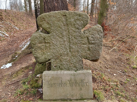
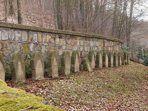
We soon reach the atonement cross. This stone cross is a reminder of the events of 1430: according to legend, Hussites attacked Gottleuba at that time. The mayor and 13 young men held off the attackers until the inhabitants were able to flee to safety in the woods. They themselves lost their lives in the process.
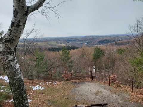
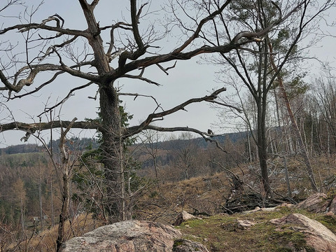
We follow the hollow path to the left, cross the road (after approx. 100 metres we cross the road again) and continue straight ahead at the seating area along the hiking trail through meadows and fields. The path to Augustusberg is signposted at the first houses. After another 150 metres, we pass the lattice radio mast and reach the road access to Augustusberg. Past the mountain hotel, we climb a few steps to the view. From here, you can see the Gottleuba dam, which was built between 1964 and 1974, and from here you can also see into the eastern Ore Mountains to the Kahleberg, Geising and Luchberg. Geologically, the Augustusberg is a sandstone island in the middle of granite. There used to be a lookout tower here, which collapsed in a storm after just 11 years in 1891. A second tower lasted much longer and was only demolished after the Second World War due to dilapidation.
Back again, we follow the "yellow dot" and G5 markings. On the winding road, we pass the "Rodelbahn" bus stop. However, we want to walk further and take the winding road to the left. When we reach Hohe Straße, we cross it. A wide, easy forest path begins here. We now follow the signs for circular trail no. 10, walk straight across the timber yard and keep left at the next junction.
On the Obere Hüttenleite we follow a slight curve through this wooded area. A signpost points to a viewpoint about 30 metres downhill. A narrow path leads to Franz-Schönbach-Blick. A bench invites you to linger. Back on the wide hiking trail, we turn right after 20 metres from the Obere Hüttenleite. There is a signpost "Augustusberg" at this point. A beautiful forest path takes us to Hohe Straße, which we cross again and walk to the "Rodelbahn" bus stop.
Now we turn onto the tarmac forest path "Rodelbahn". We walk comfortably downhill for approx. one kilometre and pass the "Hennigbrunnen" fountain, which bubbles at the very end of the "Rodelbahn". This steep forest path was converted into a municipal toboggan run in 1908. In winter, you are guaranteed a fun toboggan ride!
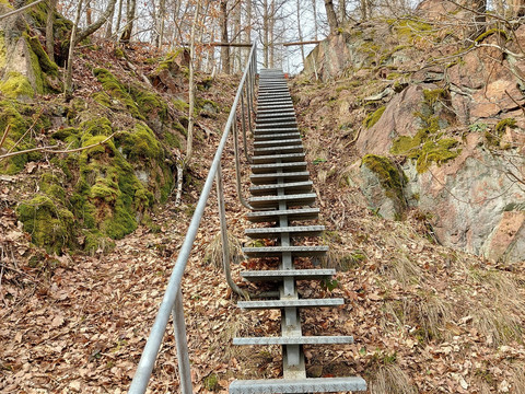
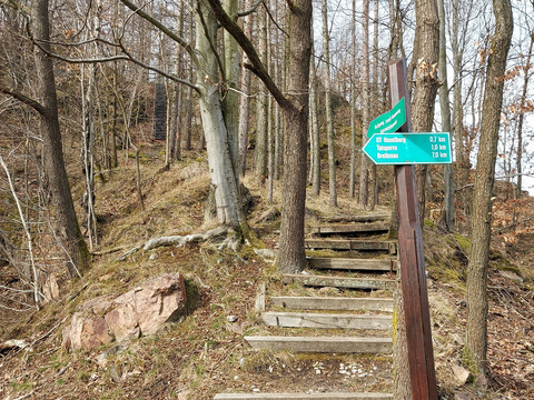
We now follow Hellendorfer Straße downhill until shortly before the cemetery, where we turn left and walk up to Tannenbusch. A steep iron staircase leads to a viewpoint and the ridge path. The Kammweg is a narrow hiking trail from which you have a wonderful view.
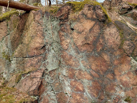
The tourmaline granite rock forms the multi-pronged ridge of the Tannenbusch. The 3 km long and 1 km wide corridor stretches from the Tannenberg over the Helleberg to the Raabstein. There used to be a quarry here where tourmaline granite was mined.
The last part of the ridge trail leads back to circular trail no. 8 after descending a flight of steps, but we descend further to the valley road, cross the Gottleuba and walk along the Gottleuba and along the Mühlensteig back to the village centre.
The tour is suitable for older children who like to run and also for dogs.
Car park on the market square in Bad Gottleuba at the historic post office column
from Pirna bus 216/ 219 in the direction of Bahratal to the stop Hackebeilstraße/ Berggießhübel
(vvo-online.de)
Here you will find everything you need to know about hiking in the Elbe Sandstone Mountains.
You can find all our hiking tours with free GPX download directly on our website.
