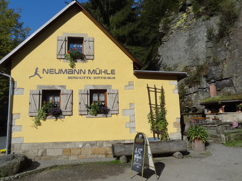
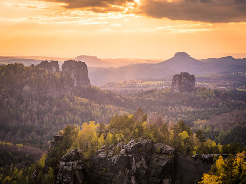
© Stephan Junghanß, Tourismusverband Sächsische Schweiz

Malerweg, Stage 4: From Altendorf to Neumannmühle (official version TV Saxon Switzerland)

Short facts

  • start: Altendorf
  • destination: Neumannmühle
  • difficult
  • 18,35 km
  • 7 hours 15 minutes
  • 553 m
  • 435 m
  • 133 m

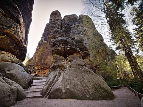
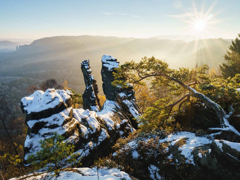
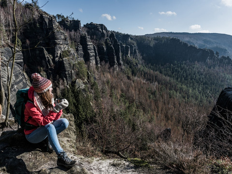
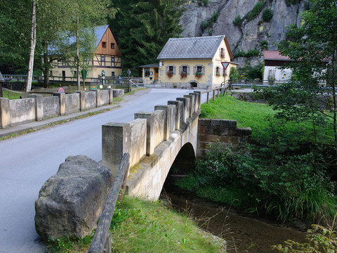
Challenging hike through the Saxon Switzerland National Park, partly steep ladders, 464 meters in altitude, refreshments available in the Kirnitzschtal valley.

Altendorf - Dorfbachklamm - Kirnitzschtal - Flößersteig - Ostrauer Mühle - Mühlweg- Bauweg - Elbleitenweg - Schrammsteine - Jägersteig oder Wildschützensteig - Schrammsteingratweg - Schrammsteinaussicht - Zurückesteig - Kleiner Dom - Sandloch - Zeughausweg - Unterer Affensteinweg - Lichtenhainer Wasserfall - Kuhstall - Neuer Wildenstein - Neumannmühle

GPS Daten aktualisiert 2021
Tour dashboard

Pavings

  • Unknown (80%)
  • Street (1%)
  • Hiking Trail (7%)
  • Path (12%)

Weather

General information

Next steps

More like this

It appears that you are using Microsoft Internet Explorer as your web browser to access our site.

For practical and security reasons, we recommend that you use a current web browser such as Firefox, Chrome, Safari, Opera, or Edge. Internet Explorer does not always display the complete content of our website and does not offer all the necessary functions.